Sign In
Password
Forgot password?
New to ShopGlobal? Sign Up
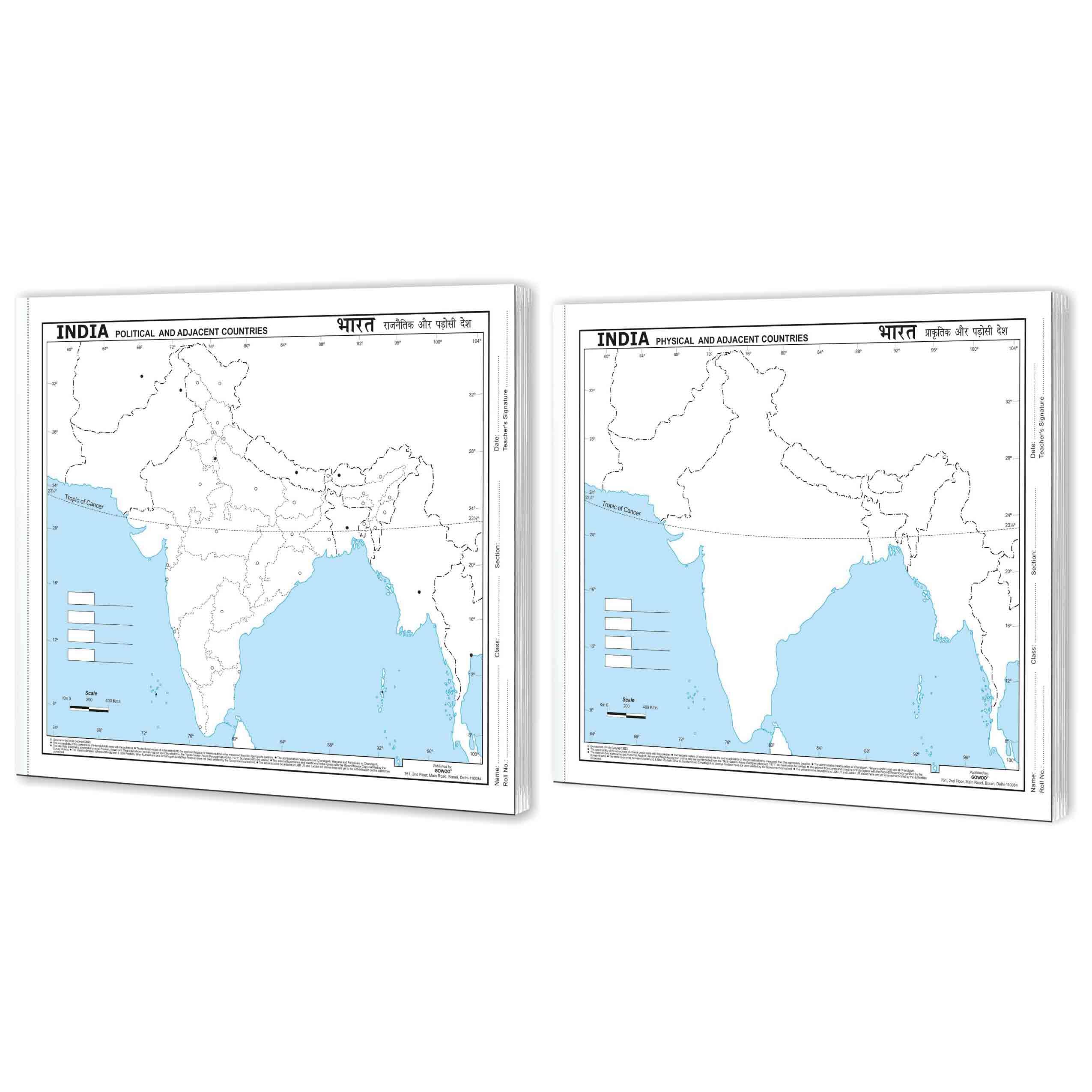
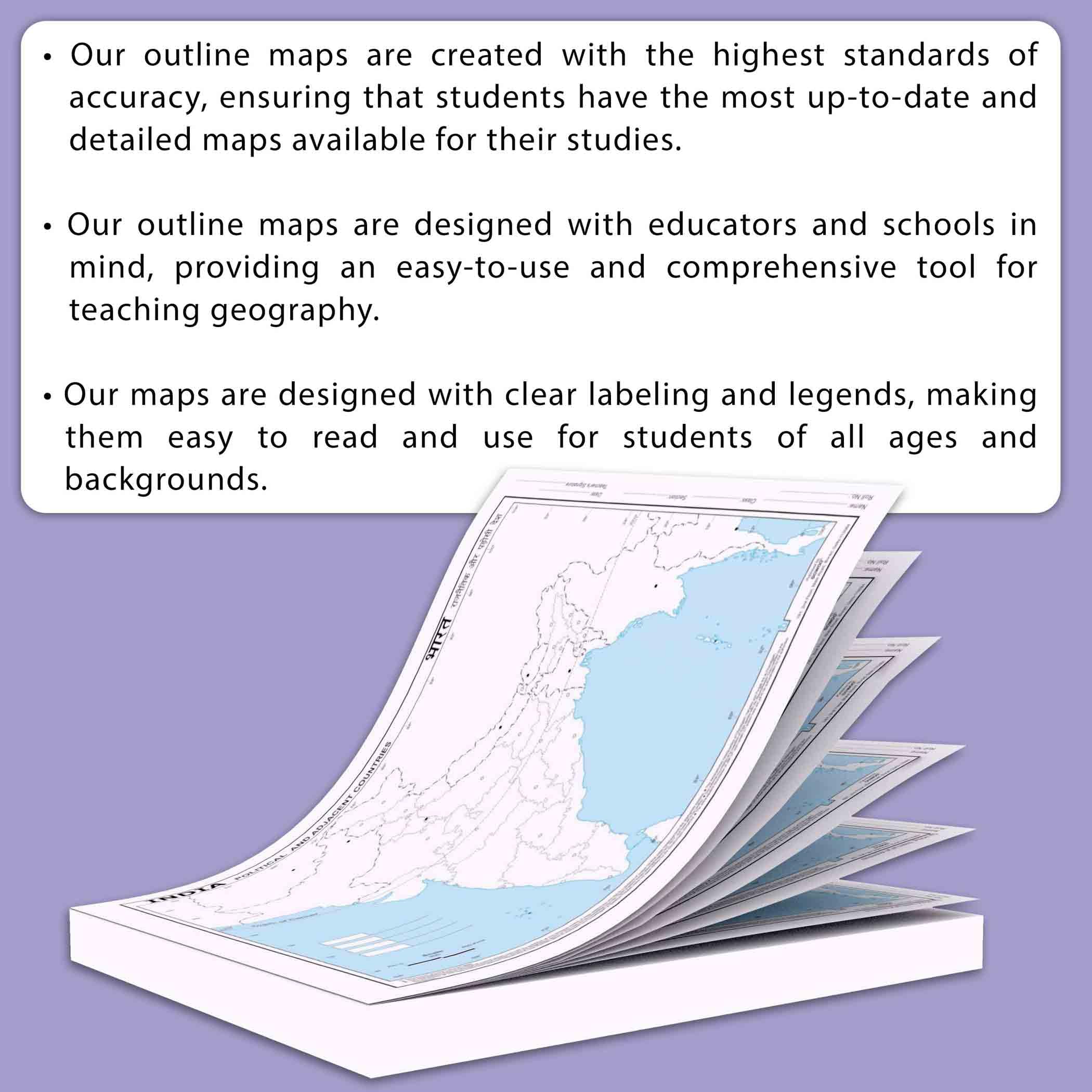
BIG - 100 INDIA POLITICAL OUTLINE MAP FOR SCHOOL and BIG - 100 INDIA PHYSICAL OUTLINE MAP FOR SCHOOL | Combo of 2
Brand: GO WOO
Product Overview
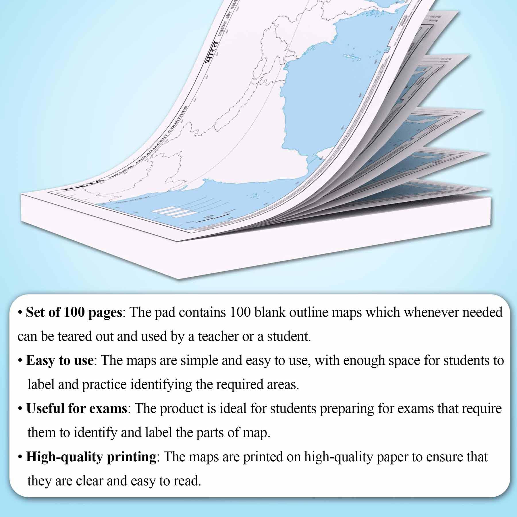
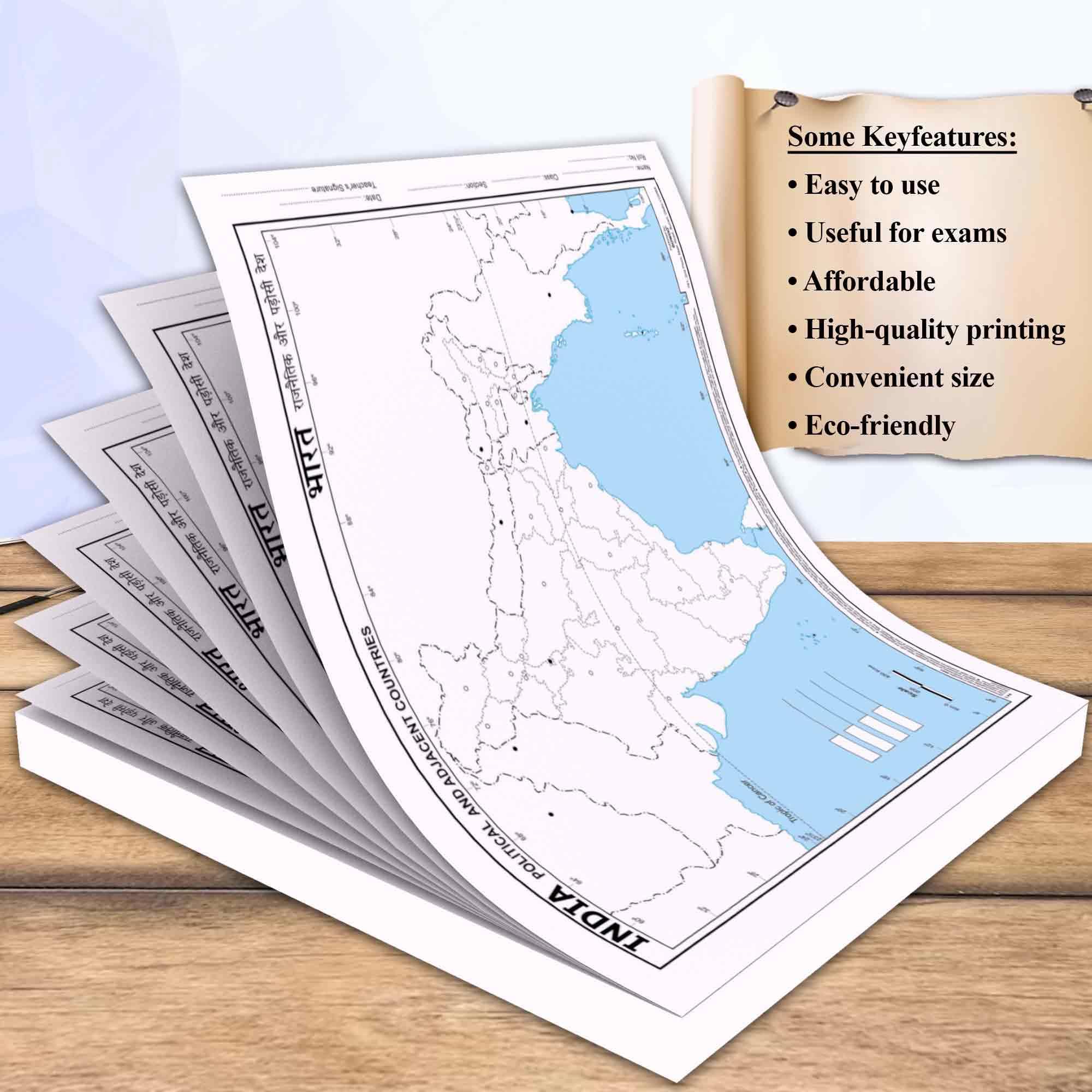
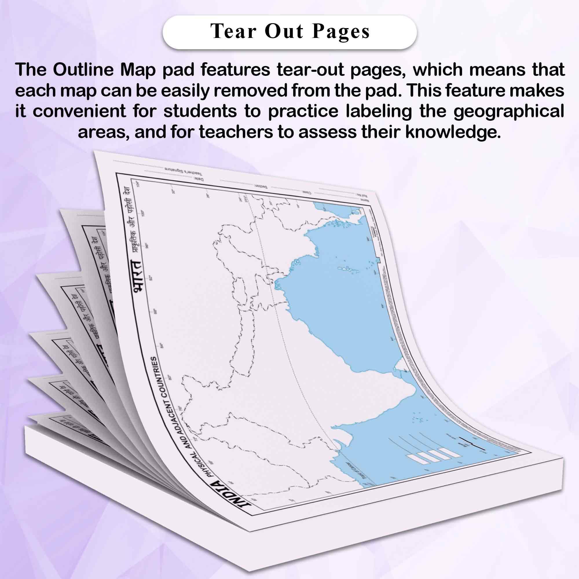
"The combo of the BIG - 100 India Political Outline Map for School and BIG - 100 India Physical Outline Map for School provided by Gowoo offers a comprehensive and detailed exploration of India's geography, combining political and physical aspects into a valuable learning resource for students. Measuring 11*8.5 inch each, these compact maps are perfect for student use. The BIG - 100 India Political Outline Map for School clearly and precisely represents India's political divisions. Complementing the political map, the BIG - 100 India Physical Outline Map for Schools focuses on the physical features of India's landscape. The BIG - 100 India Political Outline Map for School and BIG - 100 India Physical Outline Map for School facilitate interactive learning experiences in the classroom. Students can engage in various activities, such as labelling maps, identifying and analysing geographic patterns, and discussing the impact of geography. These maps also enhance students' critical thinking and analytical skills. They learn to interpret and analyse geographic information, make connections between political and physical features, and understand the complex interplay of geography. The Big India Map Combo is a must-have resource for students eager to explore and understand India's geography. This combo pack includes two maps, the Big 100 India Political Outline Map and the Big 100 India Physical Outline Map, designed to make learning engaging and accessible. The BIG - 100 India Political Outline Map for School and BIG - 100 India Physical Outline Map for School provides a comprehensive and engaging learning experience for students studying India's geography. By integrating political and physical aspects, "
Product Details