Authentic products | Secure payments | Singapore support | Doorstep delivery | Trusted by Millions of Customers Worldwide Since 2015 | No Hidden Customs Taxes and DutiesAuthentic products | Secure payments | Singapore support | Doorstep delivery | Trusted by Millions of Customers Worldwide Since 2015 | No Hidden Customs Taxes and Duties
logo
Deals
World Political Map Educational Charts | 20"X30" inch |Non-Tearable and Waterproof | Double Sided Laminated |Useful for Preparation of SSC, UPSC, RRB, IES, and Other Exams
World Political Map Educational Charts | 20"X30" inch |Non-Tearable and Waterproof | Double Sided Laminated |Useful for Preparation of SSC, UPSC, RRB, IES, and Other Exams 0
World Political Map Educational Charts | 20"X30" inch |Non-Tearable and Waterproof | Double Sided Laminated |Useful for Preparation of SSC, UPSC, RRB, IES, and Other Exams 1
World Political Map Educational Charts | 20"X30" inch |Non-Tearable and Waterproof | Double Sided Laminated |Useful for Preparation of SSC, UPSC, RRB, IES, and Other Exams 2
World Political Map Educational Charts | 20"X30" inch |Non-Tearable and Waterproof | Double Sided Laminated |Useful for Preparation of SSC, UPSC, RRB, IES, and Other Exams 3
World Political Map Educational Charts | 20"X30" inch |Non-Tearable and Waterproof | Double Sided Laminated |Useful for Preparation of SSC, UPSC, RRB, IES, and Other Exams 4

World Political Map Educational Charts | 20"X30" inch |Non-Tearable and Waterproof | Double Sided Laminated |Useful for Preparation of SSC, UPSC, RRB, IES, and Other Exams

Brand: GO WOO

4.2(10)

Product Overview

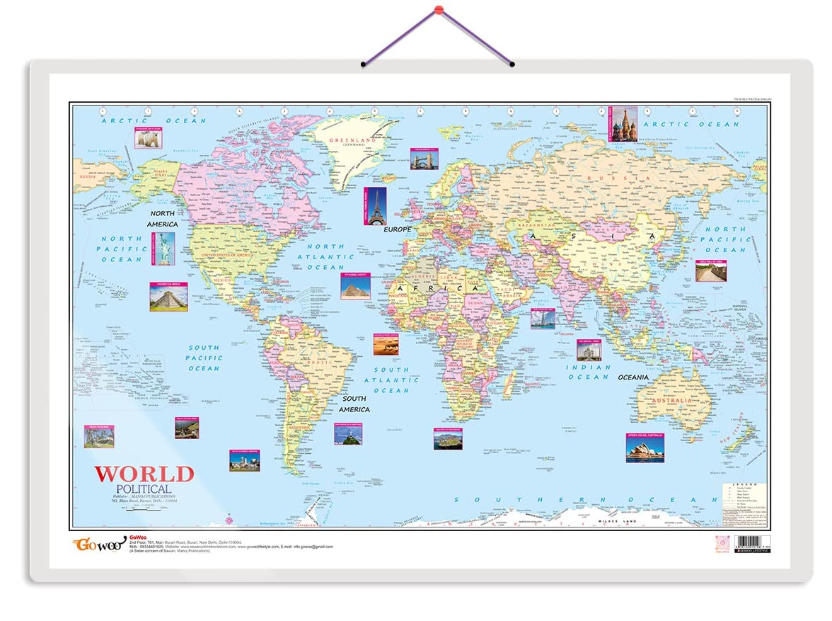
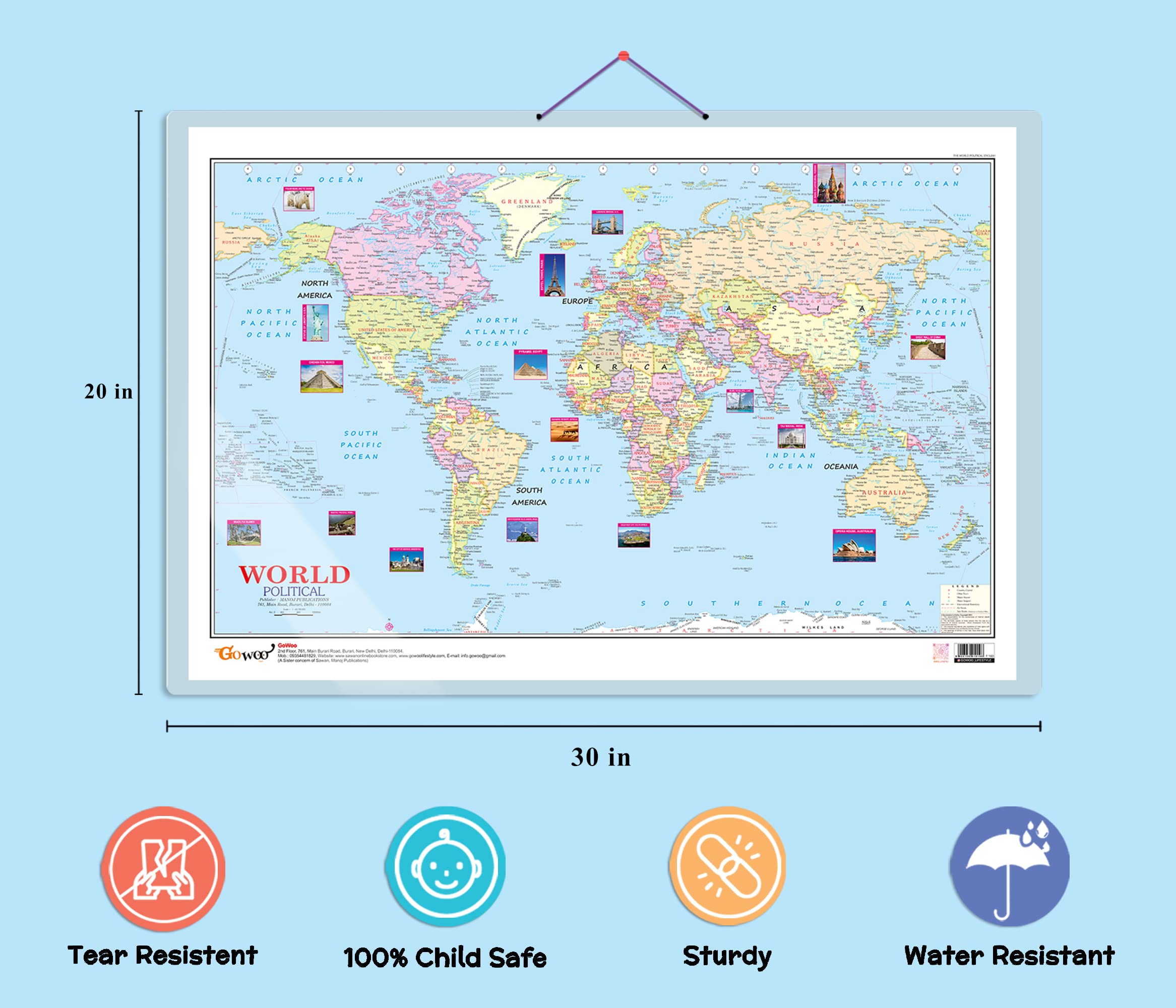
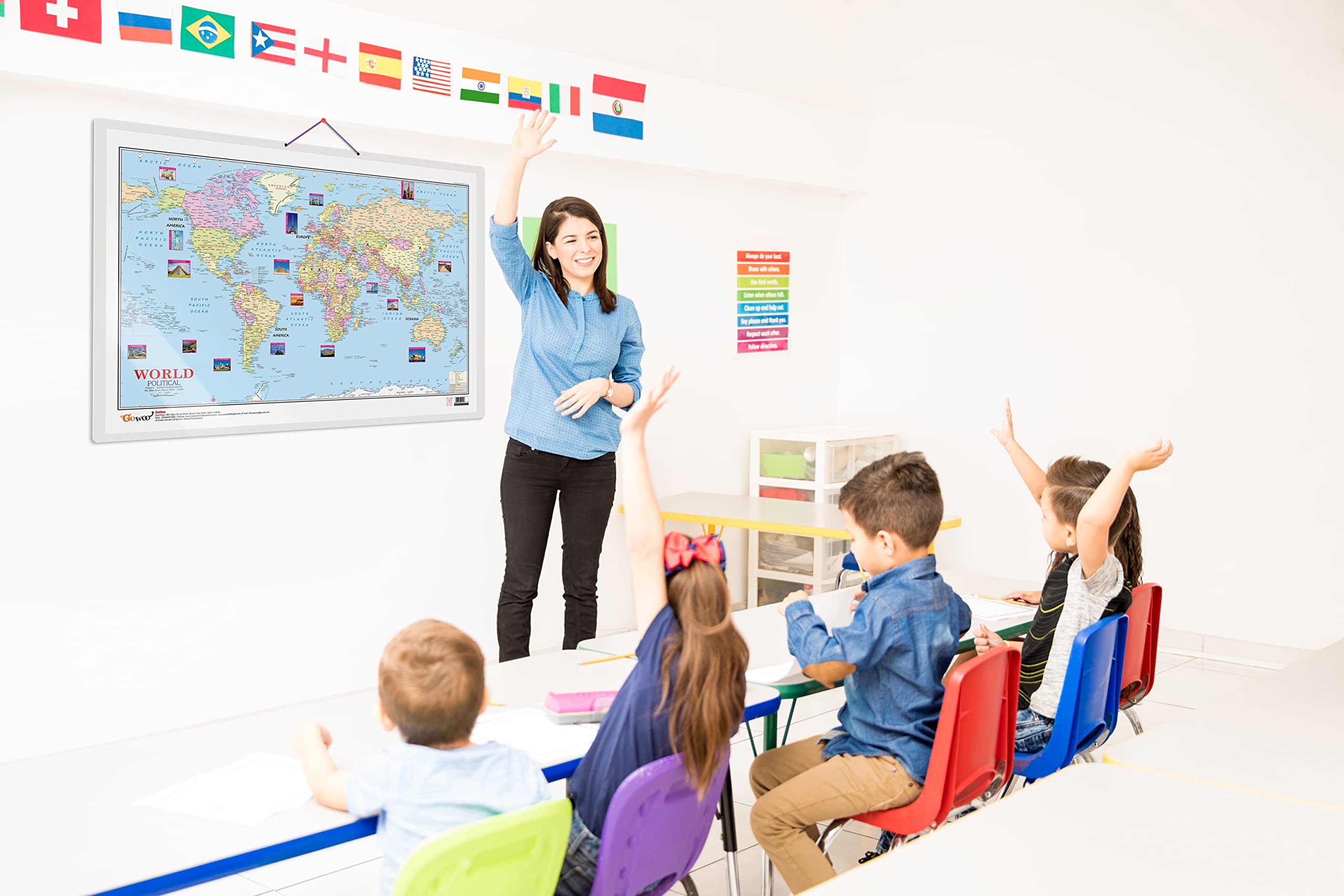
"Introducing the World Political Map Educational Chart! Measuring 20"" x 30"" inches, this informative chart is an excellent tool for students and educators to learn about the world’s political geography. The World Political Map Educational Chart is double-sided laminated, making it durable and resistant to tears and water damage, ensuring that it can withstand frequent use in the classroom or at home. The chart is an excellent teaching aid for homeschooling, elementary school, middle school, and high school students, as well as for college and university-level courses. The chart features a comprehensive and up-to-date world map that includes all the major countries and territories of the world, their capital cities, and significant geographical features. The map is colour-coded to clearly differentiate between countries, making it easy to identify and learn about different regions and their political boundaries. This educational chart is also ideal for exam preparation, including SSC, UPSC, RRB, IES, and other exams, as it provides a detailed and accurate representation of the world's political geography. The chart is perfect for displaying in a classroom, study room, or office and can be easily viewed from a distance. With its large size, double-sided lamination, and educational content, the World Political Map Educational Chart is an excellent resource for anyone learning about the world’s political geography. Give the gift of knowledge with this educational chart today!

Product Details

World Political Map Educational chart have tear-resistant material to maintain long-term use. This chart is made with thick lamination so that it keeps a consistent performance in all important aspects and will help your child to build an environment that will greatly affect the growth and development of your child.
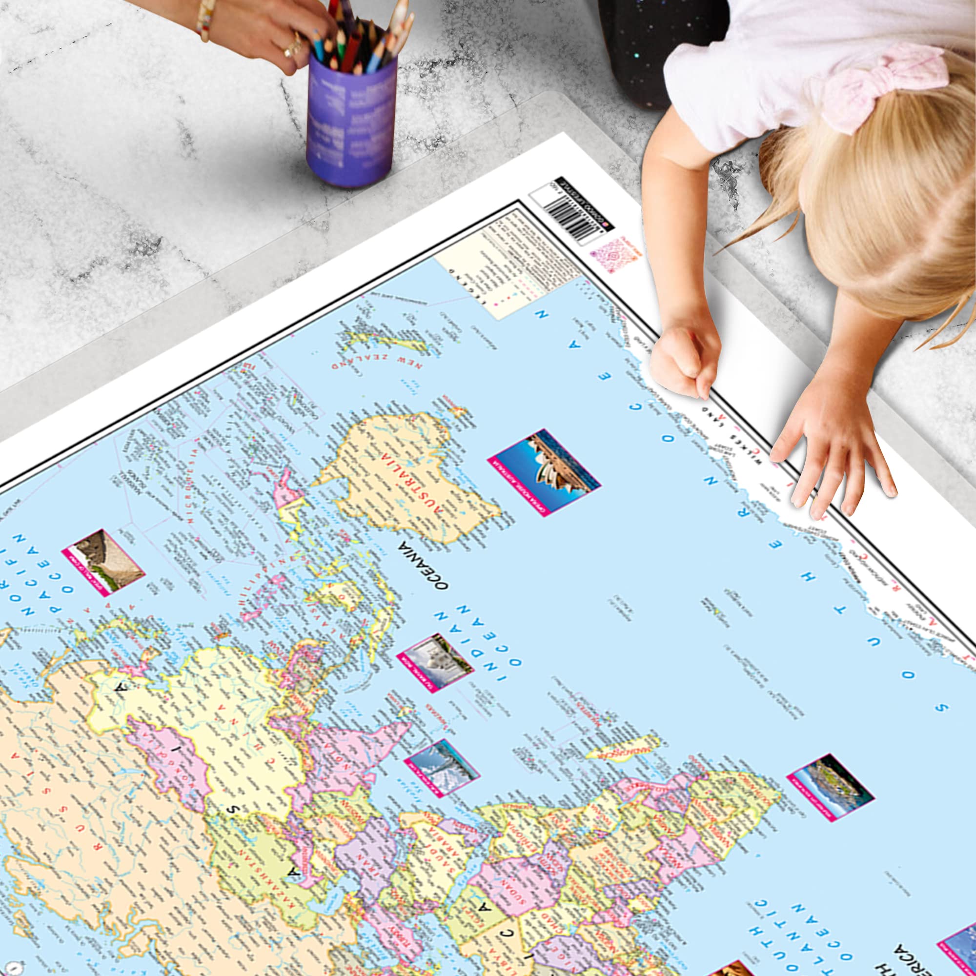
Sturdy and thick Lamination for better grip that will increase concentration, this educational poster is perfect for Homeschooling, Kindergarten, and Nursery Students.
World Political Map Educational chart is water resistant which will increase the durability of the product in a highly humid environment and will keep it safe from water for a long time.
World Political Map Educational Poster is designed with inspirational illustrations to spark curiosity in children and will help your child to grasp the concept quickly.
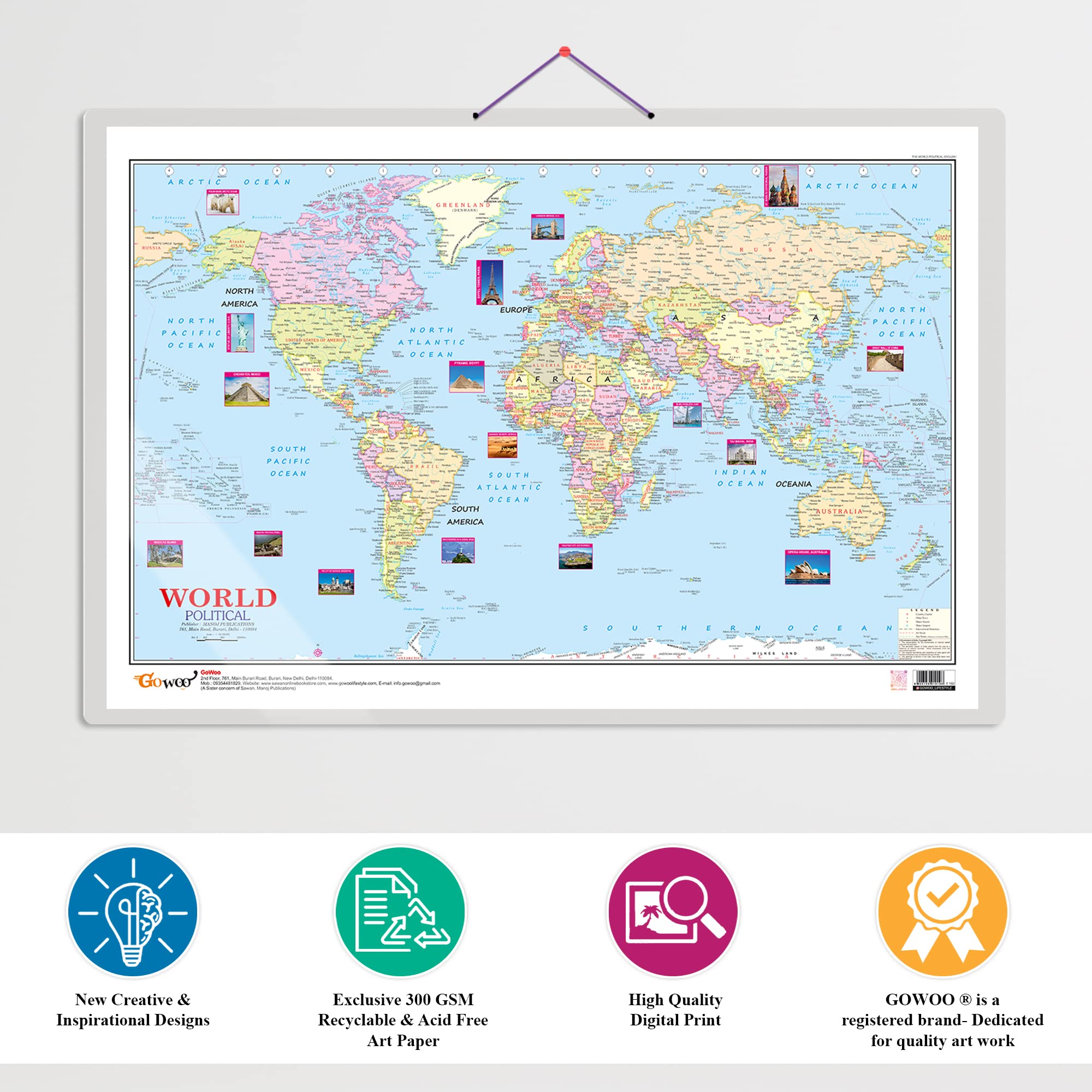
The art paper used in the chart is 100% harmless to children and the High-quality print will make the product more attractive and vibrant.
Bigger fonts will help children to read more vividly and with fully loaded realistic pictures this chart is all-ready to spark curiosity in viewers.
World Political Map Educational chart is dust resistant because the thick lamination helps the chart to remain dust resistant with a single wipe.

Related products for this brand

Loading related products...
WhatsApp